
Corona del Mar State Beach
Corona del Mar · Orange County · California

Did you dive today?Please share the visibility to make our algorithm more accurate.
Report visibilityToday's forecast
Updated 10:00 AM PT today · July 28, 2026Dawn is the clearest window. A late-morning onshore builds surface chop and gives up a few feet by the afternoon.
7-Day Forecast
Map · getting there
33.594° N · 117.875° W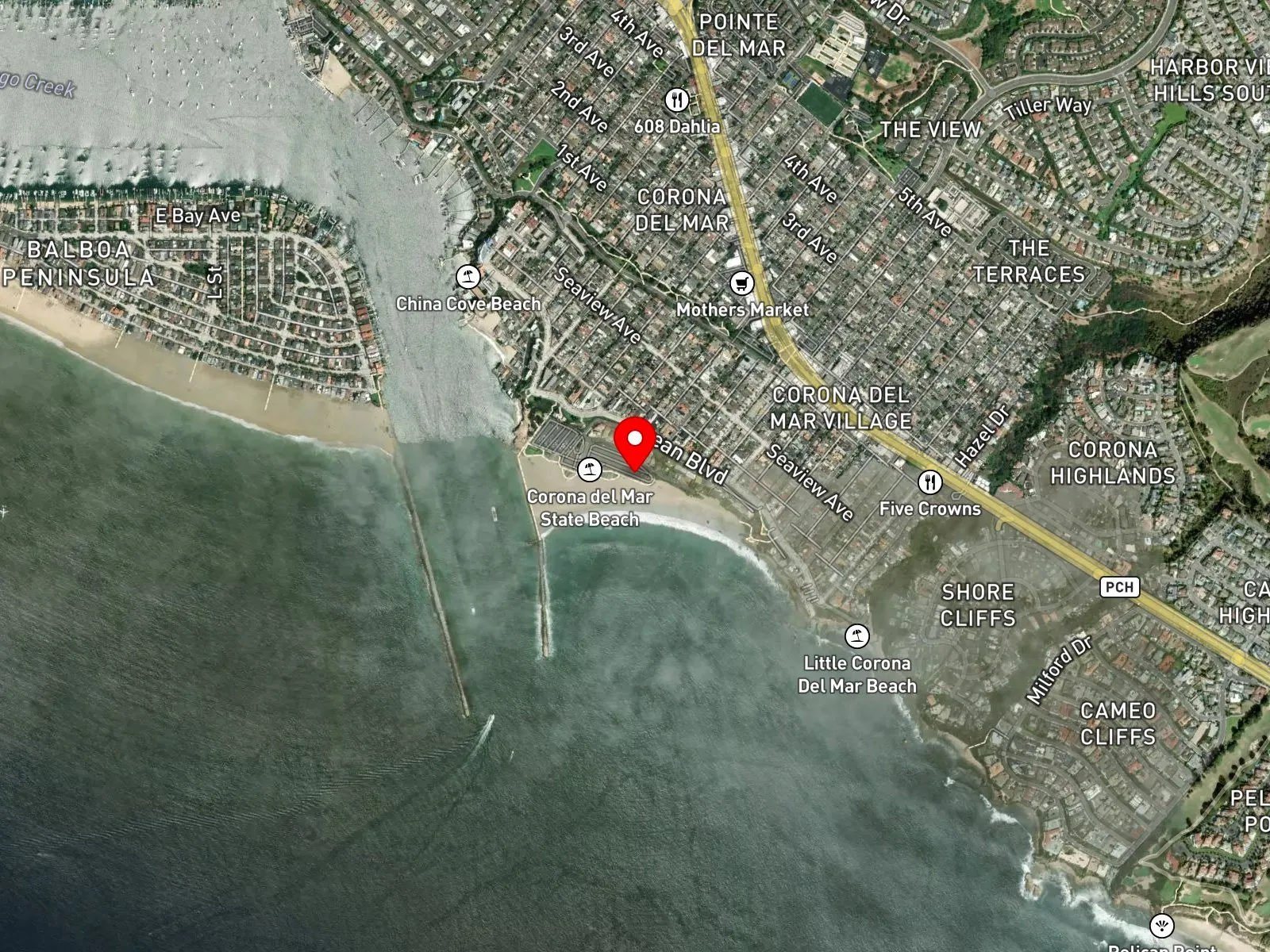
Corona del Mar, CA 92625
About Corona del Mar State Beach
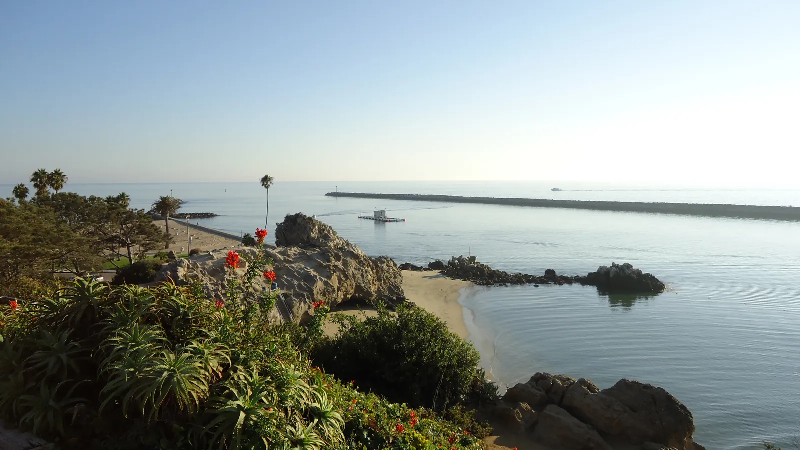
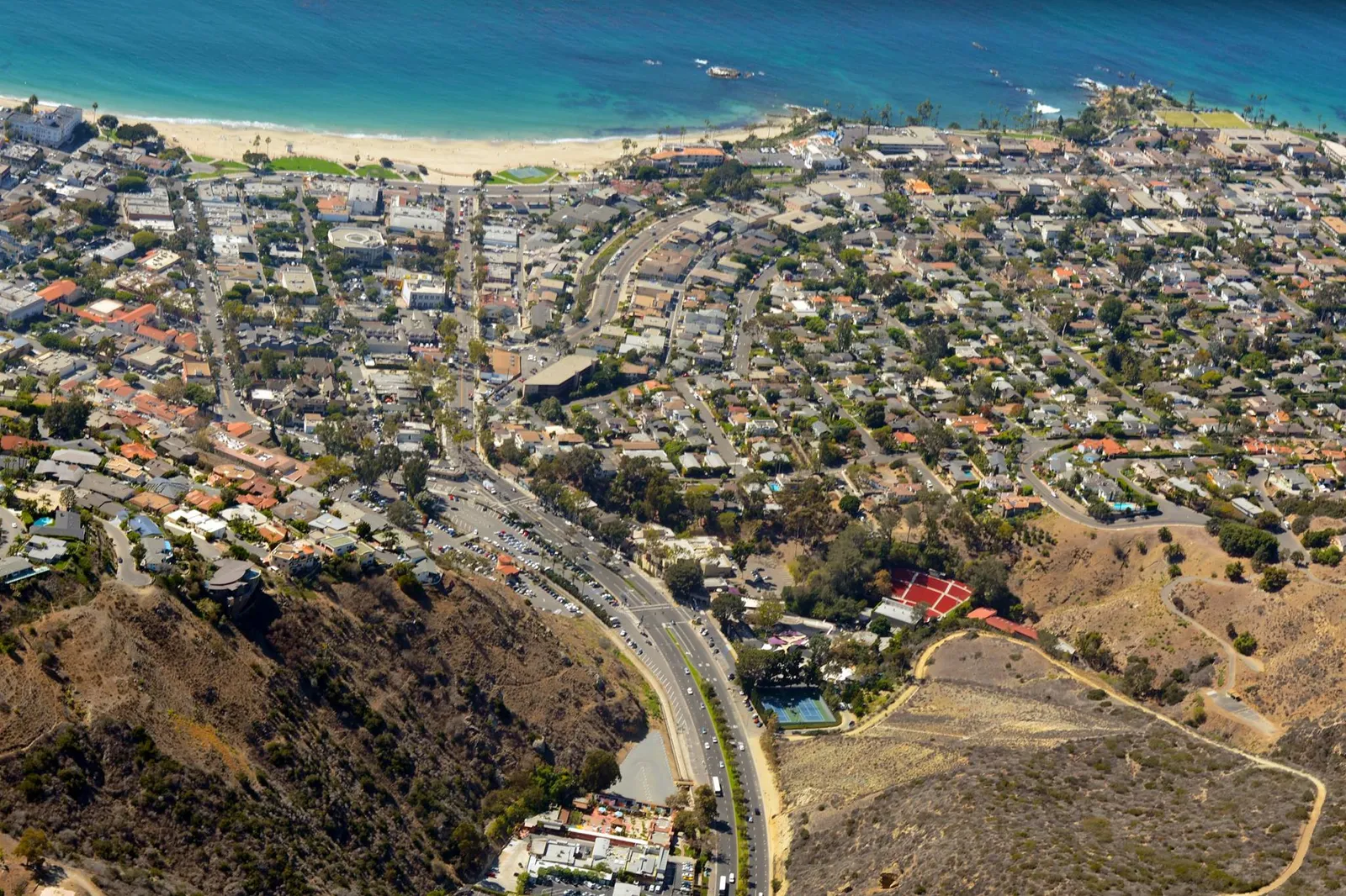
Corona del Mar State Beach is a half-mile sand cove on the south side of the Newport Harbor entrance in Orange County. The east jetty of the harbor closes off the north end of the cove, and sandstone bluffs frame the south. Locally the beach is called Big Corona, the larger counterpart to Little Corona del Mar Beach, which sits roughly 0.3 miles south and is reached by stairs at the end of Poppy Avenue. China Cove tucks in immediately to the west, with stairs descending from Way Lane. The Sherman Library and Gardens sits 0.5 miles inland on Pacific Coast Highway. The beach itself ends about 450 meters north of the Crystal Cove State Marine Conservation Area boundary, so the SMCA take rules do not reach this spot.
The cove bottom is sand, and the surf breaks at the open mouth. The rip-rap of the east jetty at the north end holds intertidal life and small reef fish, and Little Corona del Mar Beach to the south carries rocky tidepools and submerged rocks within walking or swimming distance. That sand entry and the surf at the mouth place the cove in the surf zone biome. The jetty rocks at one end and the tidepool rocks at the other add a rocky reef biome along the same beach.
The shelter of the jetty draws most of the use into swimming and bodysurfing, since the cove sits calmer than the open coast on either side. A small, well-shaped break sets up on the south side of the jetty when the swell window lines up. Snorkelers work the jetty rocks and the south end on calm days. Hook-and-line fishing from the shore and the jetty is steady. Spearfishing is legal under standard California regulations but uncommon here, because the structure is limited and the larger reef and kelp lie inside the SMCA to the south. Scuba at the beach itself is also uncommon.
A paid municipal lot at the foot of Iris Avenue has restrooms and showers, with hourly fees during the day, and it fills by 10 a.m. on summer weekends. Free street parking opens up along Ocean Boulevard and the residential blocks above the bluff. Fishing and spearfishing at Corona del Mar State Beach are legal under standard California regulations, with SMCA rules taking effect south of the boundary roughly 450 meters down the coast.

Surf Zone
The surf zone biome consists of sandy beaches and breaking waves. The action of surf disturbing the sand and kicking it up exposes marine invertebrates, buried in their shallow dens. This natural exposure of invertebrates attracts all kinds of fish, looking for an easy meal. Learn more about this biome and the species found in it by clicking the link below.
Learn more in the Biome Glossary
Rocky Reef
The rocky reef biome is bare rock, boulder, and cobble structure without a kelp canopy above it. The hard relief and its crevices shelter invertebrates and reef fish, and the structure concentrates life that the surrounding sand cannot hold. Learn more about this biome and the species found in it by clicking the link below.
Learn more in the Biome GlossaryTarget Fish Species
Nearby beaches
Gain the Power
of the Oracle.
Ocean Oracle sees the future. Get 7-day visibility forecasts for every beach, plus alerts the night before clarity peaks — so you never miss a prime day.
Free shows you what the ocean looks like today. Ocean Oracle shows you the week ahead and the fish waiting for you down there.
Visibility predictions for the entire week ahead at any beach. Plan dives, schedule charters, book trips — without guessing.
The night before any beach hits prime conditions, Ocean Oracle pings your phone. Wake up knowing exactly where to go.
Track your favorite beaches in one place. Forecasts and alerts for everywhere you dive.
For every beach: what species are there, when they show up, and how to target them. Built by spearos, for spearos.
See the future. Dive on the right days.