
Dockweiler State Beach
Playa del Rey · Los Angeles County · California

Visibility Breakdown
Visibility by position
Solid = diver report · outlined = our reading

Break Zone: The range of water where the waves break and sediment is stirred up.
Post Break: The range past where any waves are forming, where the water starts to have a significant increase in visibility. There might be some sediment here, but swell energy is diffused and the water is calmer.
Open Water: This zone is far out enough from the shore that the water is at its clearest. It’s deep enough that sediment is not disturbed by the wave energy at the surface. Haze can sit near the surface, so the water is usually clearer the deeper you go.
Through the day
Today's visibility readings at this spot, shown at the hour each one was taken.
Every bar is a reading for the Post Break zone.
First cam reading around 7 AM.
Did you dive today?Please share the visibility to make our algorithm more accurate.
Report visibility
Today's forecast
As of Oct 12, 8:02 PM PT · latest available7-Day Forecast
Map · getting there
33.930° N · 118.437° W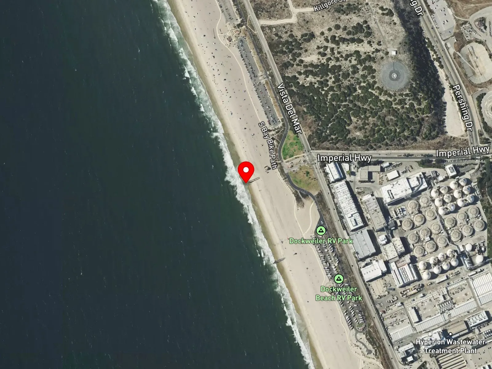
Playa del Rey, CA 90293
 Open in Google Maps
 Open in Apple Maps
About Dockweiler State Beach
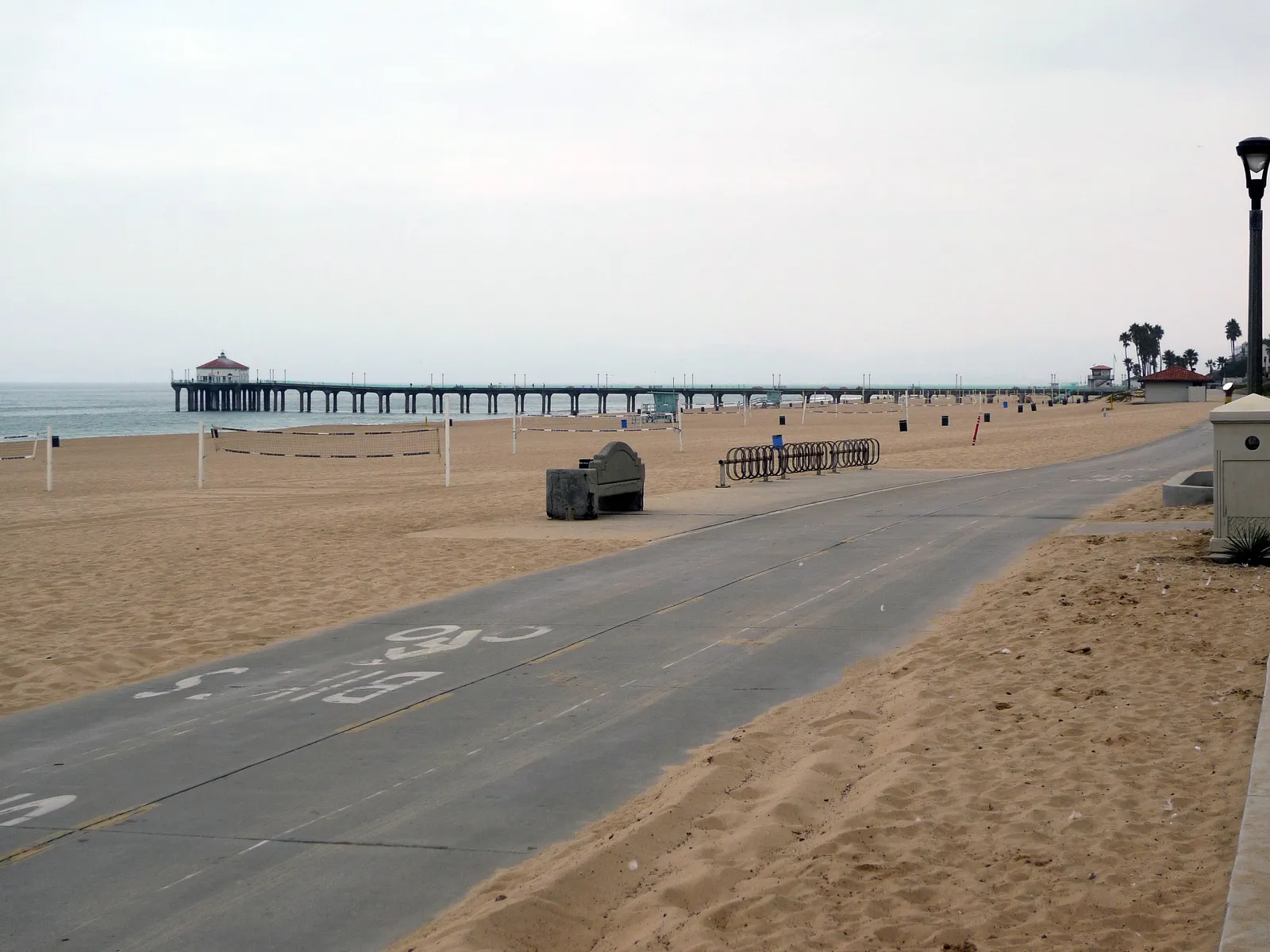
Dockweiler State Beach runs 3.7 miles along Vista del Mar, from Ballona Creek in Playa del Rey south to Grand Avenue in El Segundo. It is a California state park unit operated by Los Angeles County, and it was renamed in 1955 for Isidore B. Dockweiler. Part of the beach lies directly under the flight path of Los Angeles International Airport, where jet noise can be loud, and the Hyperion Water Reclamation Plant stands across Vista del Mar from the sand south of Imperial Highway. Dockweiler is among the few beaches in Los Angeles County where bonfires are permitted, and fire rings line the sand. The county also runs an RV campground with more than 100 full hook-up spaces, and hang glider pilots train and launch from a set of 25-foot dunes. A fenced enclosure on the beach protects nesting western snowy plovers, a federally protected shorebird.
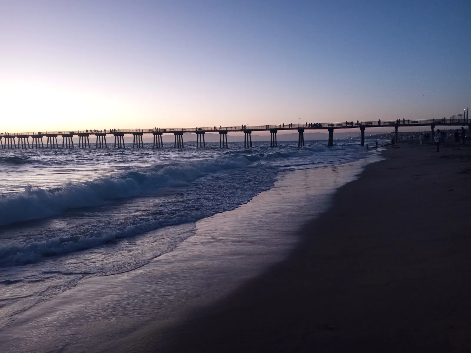
Waves break directly onto the long, open sand, which places Dockweiler State Beach in the surf zone biome. Most surfers in the area head south to El Porto or north to Venice instead.
Swimming and fishing carry most of the in-water use, and the jetties at the north end, at Playa del Rey, are the common place to fish. The Marvin Braude Bike Trail runs the full length of the beach. Hyperion normally sends its treated wastewater through an outfall that reaches 5 miles offshore, but in July 2021 the plant was overwhelmed by debris and released about 17 million gallons of untreated sewage through its shorter 1-mile outfall. Health officials closed Dockweiler and El Segundo beaches until the water tested clean on July 14.
Los Angeles County runs pay lots off Vista del Mar at Imperial Highway, at the Dockweiler Youth Center, and at Grand Avenue, with more than 1,200 spaces between them, and rates change by season and day of the week. No marine protected area covers the beach, so fishing and spearfishing are legal under standard California regulations. County Code section 17.12.450 bars using or carrying a spear or other fishing gear in the ocean within 100 feet of anyone in the water who is not using the same.
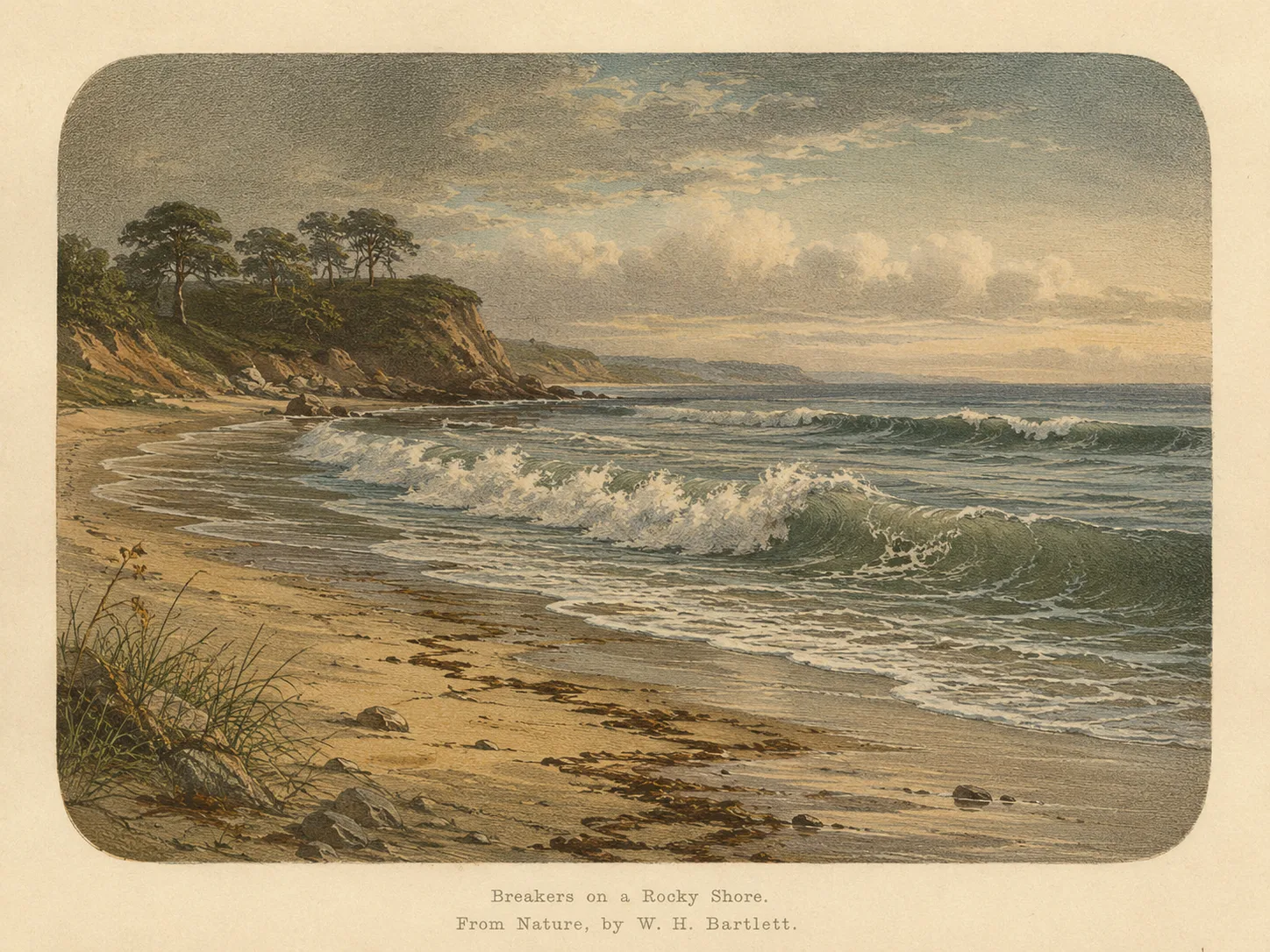
Surf Zone
The surf zone biome consists of sandy beaches and breaking waves. The action of surf disturbing the sand and kicking it up exposes marine invertebrates, buried in their shallow dens. This natural exposure of invertebrates attracts all kinds of fish, looking for an easy meal. Learn more about this biome and the species found in it by clicking the link below.
Learn more in the Biome GlossaryTarget Fish Species
The fish found at Dockweiler State Beach are being researched for the Ichthyopedia. This section fills in as species are mapped to this beach.
Browse the Ichthyopedia →Spot strategies
Nearby beaches

 Ocean Oracle Pro
Gain the Power
of the Oracle.
Ocean Oracle sees the future. Get 7-day visibility forecasts for every beach, alerts when a prime day is coming, and a dive log that remembers every dive.
Free shows you what the ocean looks like today. Ocean Oracle shows you the week ahead, watches your beaches for you, and remembers every dive.
Visibility predictions for the entire week ahead at any beach. Plan dives, schedule charters, and book trips without guessing.
When a beach on your watchlist is running good water, or the week ahead shows a good day coming, Ocean Oracle emails you. A prime window never slips past.
Every entry freezes that day's report: visibility, tide, swell, wind. Log catches, stamp Personal Bests, level up your guns, and light up your species life list.
The Coastal Bulletin greets members with the clearest water on the coast today and their own watchlist, before a single click.
Track your favorite beaches in one place. Forecasts and alerts for everywhere you dive.
A members-only board on every beach where taking fish is legal: how other members hunt the spot, with the gear, tide, season, and target species. Post your own and earn XP.
See the future. Dive on the right days.