
Fort Ross Cove
Fort Ross · Sonoma County · California

Visibility Breakdown
Visibility by position
Solid = diver report · outlined = today's forecast

Post Break: The range past where any waves are forming, where the water starts to have a significant increase in visibility. There might be some sediment here, but swell energy is diffused and the water is calmer.
Open Water: This zone is far out enough from the shore that the water is at its clearest. It’s deep enough that sediment is not disturbed by the wave energy at the surface. Haze can sit near the surface, so the water is usually clearer the deeper you go.
Through the day
Today's visibility readings at this spot, shown at the hour each one was taken.
Every bar is a reading for the Post Break zone.
This chart shows measured diver reports only.
Did you dive today?Please share the visibility to make our algorithm more accurate.
Report visibility
Today's forecast
Updated 4:38 PM PT today · October 13, 2026Dawn is the clearest window — onshore wind picks up by late morning and surface chop stirs the bottom through the afternoon.
7-Day Forecast
Map · getting there
38.512° N · 123.247° W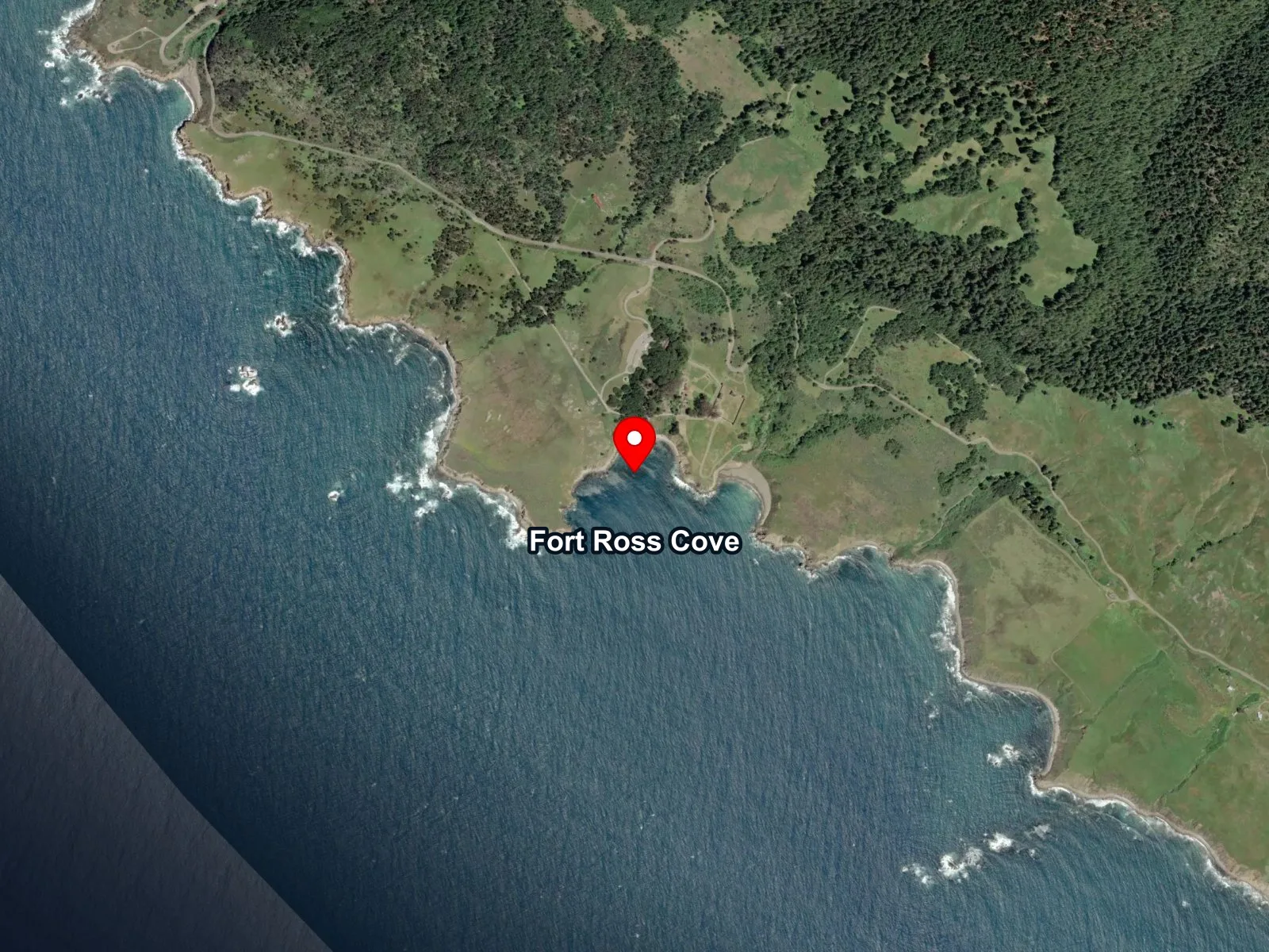
 Open in Google Maps
 Open in Apple Maps
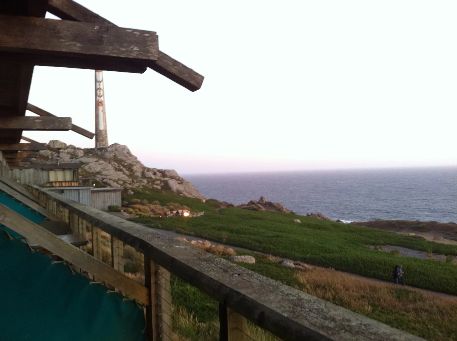
About Fort Ross Cove
Fort Ross Cove is a sandy-bottomed cove at the base of the trail down from the reconstructed Fort Ross stockade, the southernmost outpost of Russian America. The Russian-American Company ran a sea otter hunting and provisioning base above the cove from 1812 to 1841, with Alutiiq and Kodiak Alaska Native hunters brought south to work the outer coast. Kashia Pomo people had lived on this stretch long before contact, at the village of Metini nearby. The fort was sold to John Sutter in 1841 when the fur trade collapsed, and the site is now Fort Ross State Historic Park.
Along the north wall of the cove sits the wreck of the SS Pomona, a 2,742-ton passenger and freight steamer of the Pacific Coast Steamship Company that struck the outer wash rock in dense fog on March 17, 1908. Salvage stripped the superstructure and cargo, but the steel hull and machinery remain. Depths on the wreck run 40 to 60 feet, with wreckage stretching about 700 feet along the bottom. The site is listed on the National Register of Historic Places (NR #07000306, 2007), and artifact removal is federally prohibited.
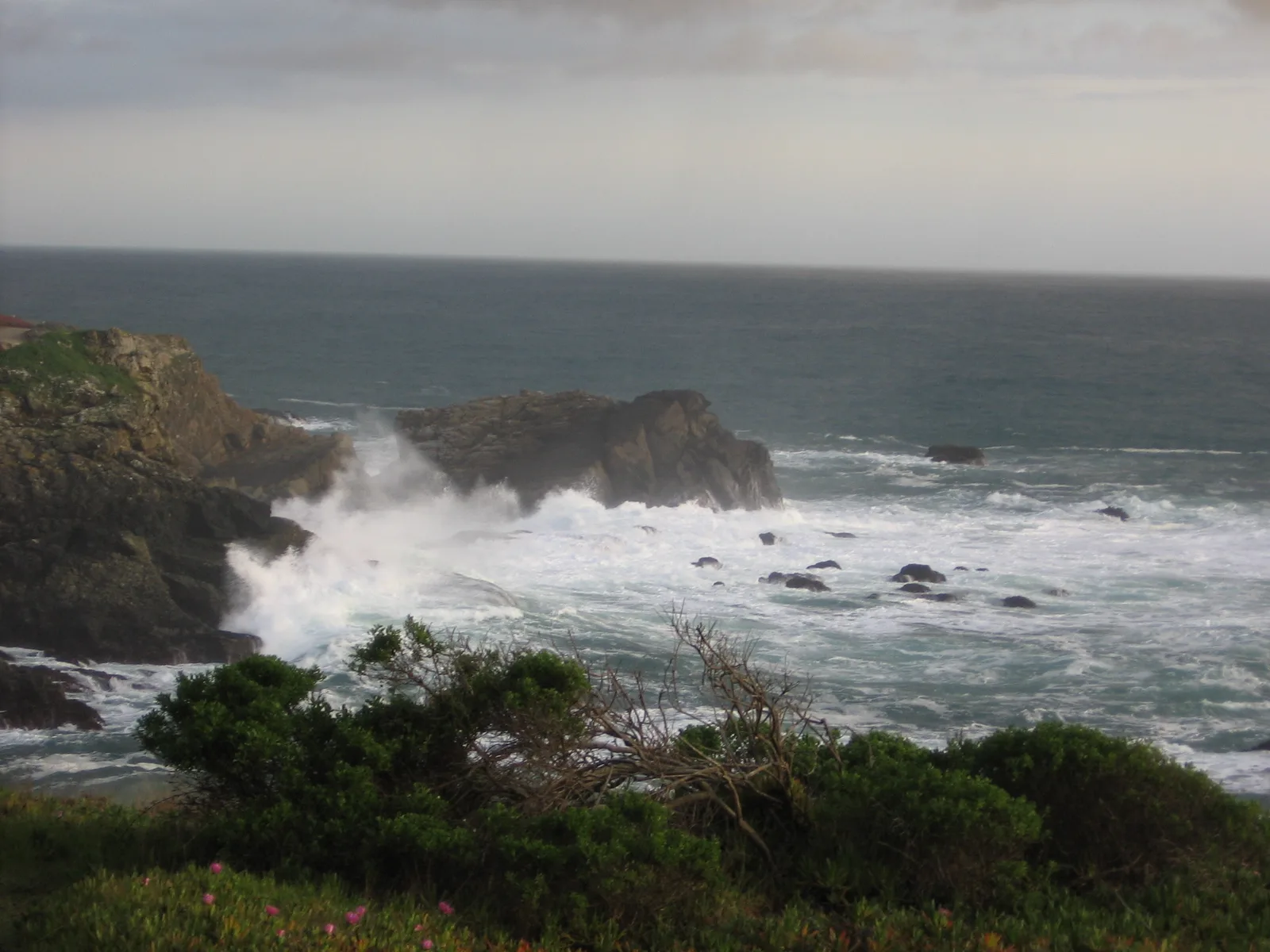
The cove floor is sand at the center and cobble along the flanks. A rocky reef biome covers the boulder and bare rock along both walls, where sea urchin barrens have kept the structure open. Seasonal bull kelp grows on the wreck itself and along the outer edge each summer and fall, putting the outer cove in the kelp forest biome during the warmer half of the year before the annual single-stipe growth dies back through winter. State Parks documents the canopy floating over the wreck in the calmer months.
Scuba on the SS Pomona is the defining draw, with constant surge and dense summer kelp both documented as complications on the wreck. Freediving and shore fishing draw use inside the sheltered cove, and the cove is one of the few sanctioned kayak launches on the north Sonoma Coast, used for cove diving and as a jump-off to the outer reefs.
Parking is the paved lot at the Fort Ross visitor center, with a short walk down to the cove. The day-use fee is $10 per vehicle, and kayak launching is included.
Fishing and spearfishing are legal here under standard California regulations. The wreck itself is a federal historic site, so removing any part of the ship is prohibited even though take of fish and invertebrates around the reef remains lawful.

Rocky Reef
The rocky reef biome is bare rock, boulder, and cobble structure without a kelp canopy above it. The hard relief and its crevices shelter invertebrates and reef fish, and the structure concentrates life that the surrounding sand cannot hold. Learn more about this biome and the species found in it by clicking the link below.
Learn more in the Biome Glossary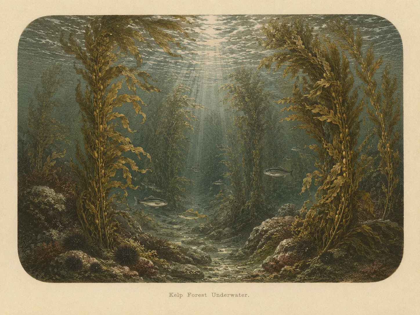
Kelp Forest
The kelp forest biome is giant kelp anchored to rocky bottom and growing up through the water column. The canopy and stipes form a three-dimensional habitat that shelters fish, invertebrates, and the predators that hunt them. Learn more about this biome and the species found in it by clicking the link below.
Learn more in the Biome GlossaryTarget Fish Species
The fish found at Fort Ross Cove are being researched for the Ichthyopedia. This section fills in as species are mapped to this beach.
Browse the Ichthyopedia →Spot strategies
Nearby beaches
 Surf Zone
 Ocean Oracle Pro
Gain the Power
of the Oracle.
Ocean Oracle sees the future. Get 7-day visibility forecasts for every beach, alerts when a prime day is coming, and a dive log that remembers every dive.
Free shows you what the ocean looks like today. Ocean Oracle shows you the week ahead, watches your beaches for you, and remembers every dive.
Visibility predictions for the entire week ahead at any beach. Plan dives, schedule charters, and book trips without guessing.
When a beach on your watchlist is running good water, or the week ahead shows a good day coming, Ocean Oracle emails you. A prime window never slips past.
Every entry freezes that day's report: visibility, tide, swell, wind. Log catches, stamp Personal Bests, level up your guns, and light up your species life list.
The Coastal Bulletin greets members with the clearest water on the coast today and their own watchlist, before a single click.
Track your favorite beaches in one place. Forecasts and alerts for everywhere you dive.
A members-only board on every beach where taking fish is legal: how other members hunt the spot, with the gear, tide, season, and target species. Post your own and earn XP.
See the future. Dive on the right days.