
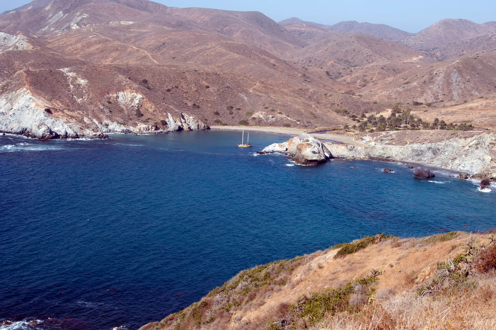
Ben Weston Beach
Back Side · Catalina Island · California

Did you dive today?Please share the visibility to make our algorithm more accurate.
Report visibilityToday's forecast
Updated 10:00 AM PT today · July 28, 2026The clarity holds through the day, with a light afternoon onshore the only disturbance to the entry shallows.
7-Day Forecast
Map · getting there
33.368° N · 118.482° W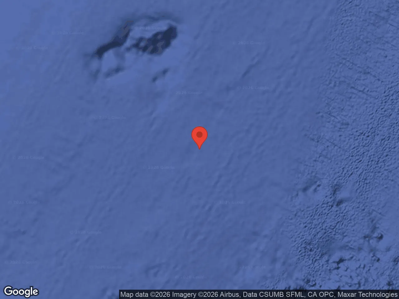
Catalina Island, CA 90704
About Ben Weston Beach
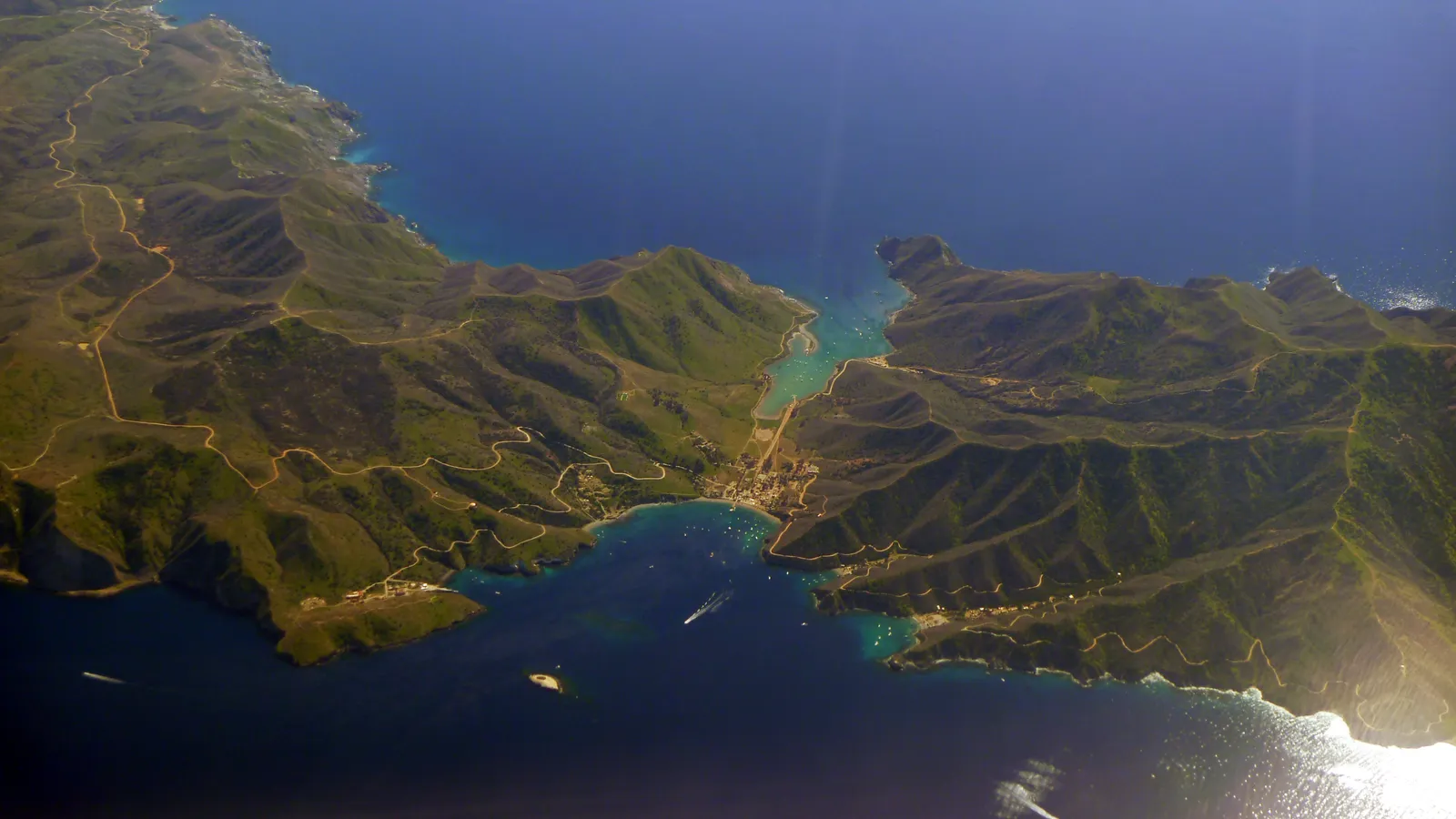
Ben Weston Beach is the only place on Catalina that gets real surf, a sand-and-cobble crescent below the bluffs on the windward southwest coast. The whole front side of the island sits in the lee of the prevailing northwest swell, but the back-side beaches face directly into it. At Ben Weston the swell wraps in unobstructed and breaks on the bottom in clean lines. The beach is empty most days. There are no facilities, no signage, and no lifeguards.
Public access is hike-only, roughly a nine-mile round trip on foot from Little Harbor, the closest road-accessible point. The interior dirt road is on Catalina Conservancy land and requires a permit to drive. Boaters can land in calm conditions, but the beach is exposed to swell, so most boats anchor at Little Harbor and walk over.
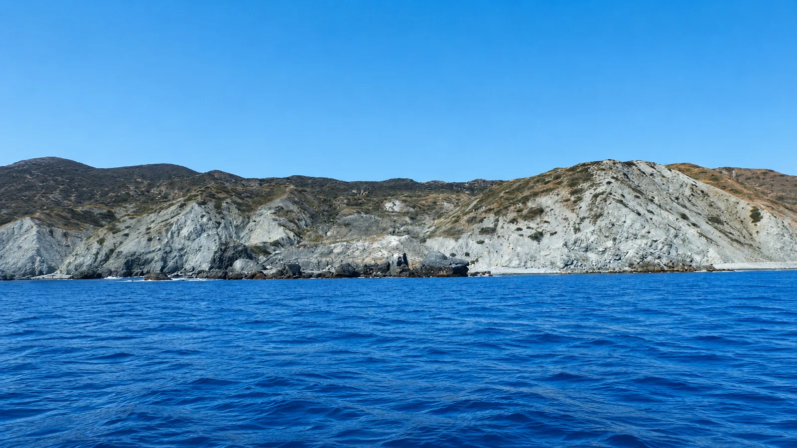
The open sandy shoreline with breaking surf makes this a surf zone biome. At the southern end, the bottom transitions into bare rock and boulder at Ben Weston Point with no kelp cover on the exposed faces, which is a rocky reef biome.
Fishing and spearfishing are legal along the open beach under standard California regulations. Farnsworth Onshore SMCA wraps Ben Weston Point at the south end of the beach with stricter take rules inside that boundary, and the line should be verified before any harvest near the point.

Surf Zone
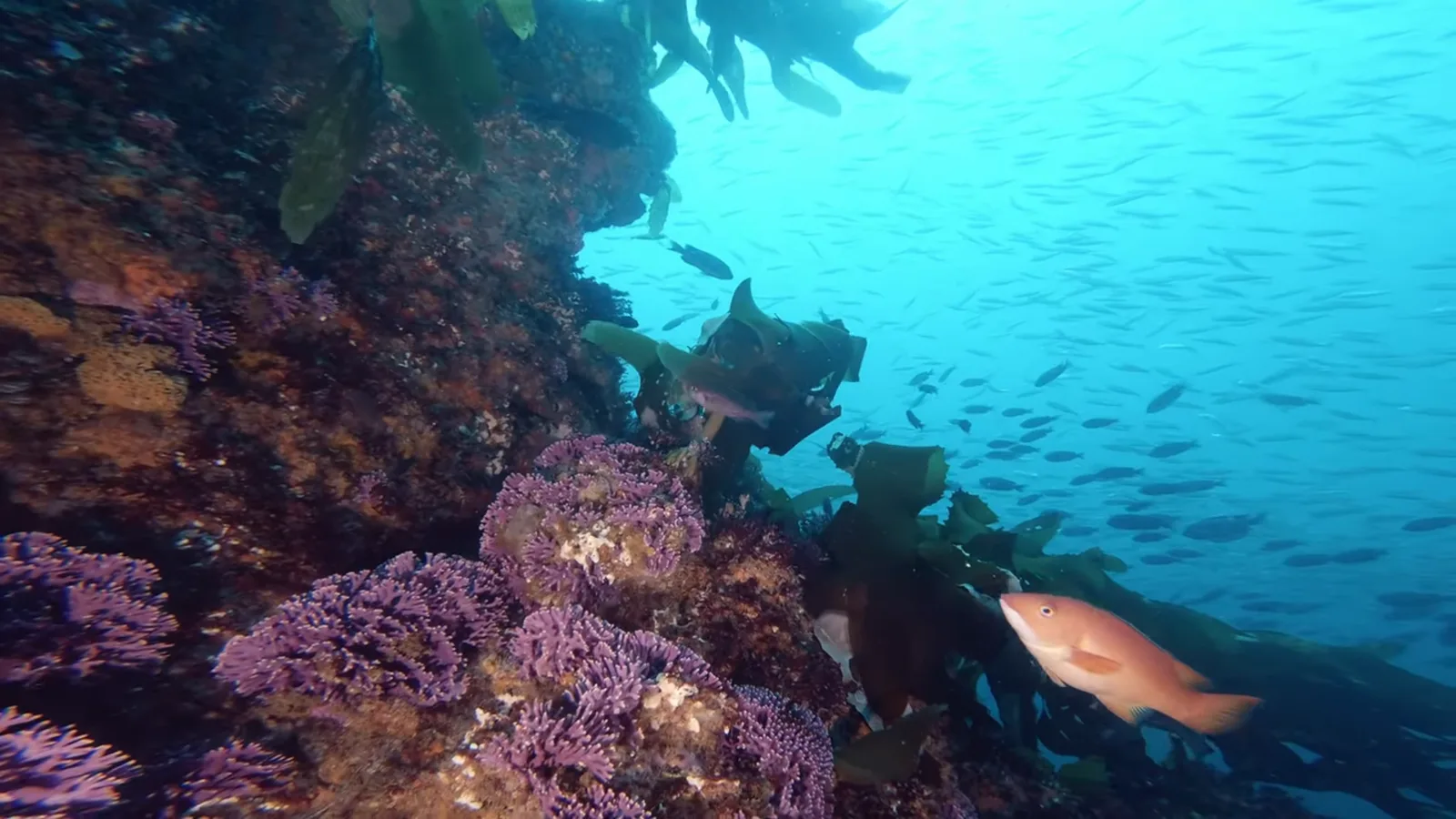
The surf zone biome consists of sandy beaches and breaking waves. The action of surf disturbing the sand and kicking it up exposes marine invertebrates, buried in their shallow dens. This natural exposure of invertebrates attracts all kinds of fish, looking for an easy meal. Learn more about this biome and the species found in it by clicking the link below.
Learn more in the Biome Glossary
Rocky Reef
The rocky reef biome is bare rock, boulder, and cobble structure without a kelp canopy above it. The hard relief and its crevices shelter invertebrates and reef fish, and the structure concentrates life that the surrounding sand cannot hold. Learn more about this biome and the species found in it by clicking the link below.
Learn more in the Biome GlossaryTarget Fish Species
Nearby beaches
Gain the Power
of the Oracle.
Ocean Oracle sees the future. Get 7-day visibility forecasts for every beach, plus alerts the night before clarity peaks — so you never miss a prime day.
Free shows you what the ocean looks like today. Ocean Oracle shows you the week ahead and the fish waiting for you down there.
Visibility predictions for the entire week ahead at any beach. Plan dives, schedule charters, book trips — without guessing.
The night before any beach hits prime conditions, Ocean Oracle pings your phone. Wake up knowing exactly where to go.
Track your favorite beaches in one place. Forecasts and alerts for everywhere you dive.
For every beach: what species are there, when they show up, and how to target them. Built by spearos, for spearos.
See the future. Dive on the right days.