What is happening on Southern California beaches right now. Official notices come from the National Weather Service, county health departments, ocean observing programs, and our own data. Community posts come from divers and swimmers who were standing there.
Heads-up · Coastal flooding · San Luis Obispo · Santa Barbara
Coastal flooding possible in San Luis Obispo and Santa Barbara through Saturday
Published for Nov 14 · Until Nov 14, 3:00 PM
Coastal Flood Watch from the National Weather Service, in effect for San Luis Obispo and Santa Barbara until Saturday 3:00 PM. The Coastal Flood Watch has been replaced. Please see the latest information from NWS Los Angeles/Oxnard CA on this developing situation. Stay off of beaches and coastal walkways, roads, and structures.
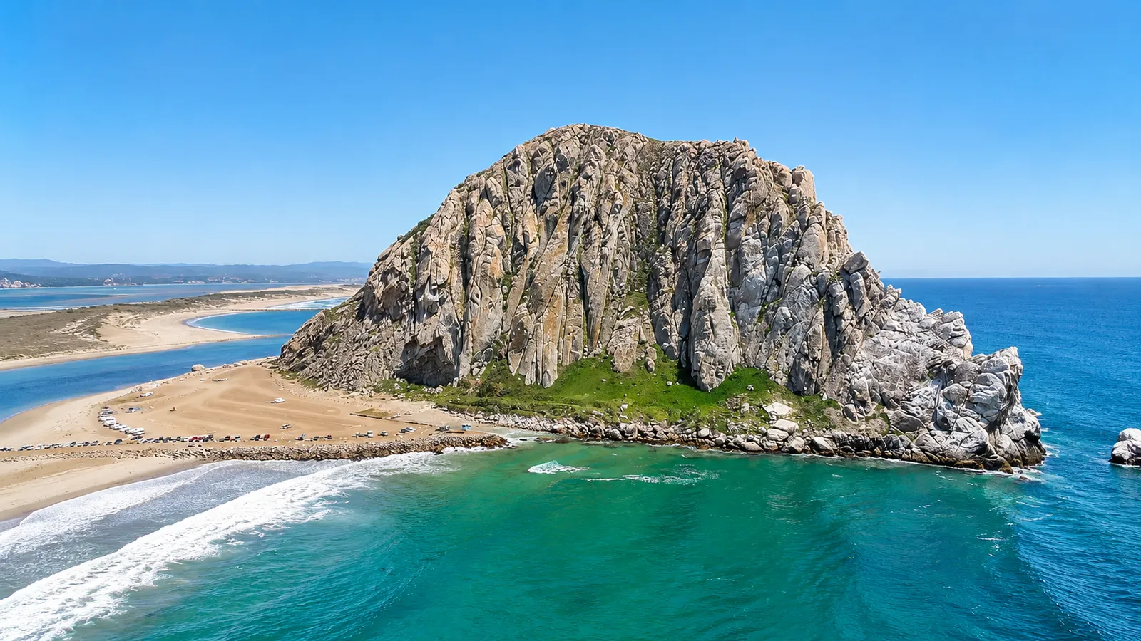
General photo of San Luis Obispo. It does not depict this event.
Hazard · Hazardous surf · San Luis Obispo · Santa Barbara
Dangerous high surf in San Luis Obispo and Santa Barbara through Sunday
Until Nov 15, 3:00 AM
High Surf Warning from the National Weather Service, in effect for San Luis Obispo and Santa Barbara until Sunday 3:00 AM. From 9 PM this evening to 3 AM PST Sunday. Stay off of beaches and coastal walkways, roads, and structures.
General photo of San Luis Obispo. It does not depict this event.
Hazard · Coastal flooding · San Luis Obispo · Santa Barbara
Serious coastal flooding in San Luis Obispo and Santa Barbara through Saturday
Until Nov 14, 6:00 PM
Coastal Flood Warning from the National Weather Service, in effect for San Luis Obispo and Santa Barbara until Saturday 6:00 PM. Moderate to significant coastal flooding expected. Stay off of beaches and coastal walkways, roads, and structures.
General photo of San Luis Obispo. It does not depict this event.
Hazard · Notice · San Diego · Orange County · Los Angeles County · Ventura County · Santa Barbara · San Luis Obispo · Catalina Island · Channel Islands
State of emergency: California is bracing for a record El Niño winter
Until Mar 31, 1:00 AM
Governor Newsom proclaimed a statewide state of emergency on September 21 to prepare California for an El Niño that NOAA gives better than a 90 percent chance of becoming very strong and a 75 percent chance of being the strongest on record since 1950. State officials are preparing for repeated rounds of heavy rain, flooding, coastal flooding, large surf, debris flows, and power outages through the winter. A pulse of warm water is due to lift sea level on the Southern California coast by 6 to 12 inches by October, and the eastern Pacific hurricane season is forecast well above average, which means more south swell arriving on top of already high water. Officials are asking Californians to prepare their homes and families now: keep emergency supplies and water on hand, sign up for local emergency alerts, know the evacuation route from home, and follow the direction of emergency officials once storms arrive. The proclamation directs all residents to obey emergency officials during this emergency. Nautical News has the full story, including when the sea level rise reaches each city and what the 1997 to 1998 winter looked like.
General photo of the Southern California coast. It does not depict this event.
High Surf Advisory from the National Weather Service, in effect for Santa Barbara until Sunday 4:00 AM. From 4 AM Saturday to 4 AM PST Sunday. There is an increased risk of ocean drowning. Rip currents can pull swimmers and surfers out to sea.
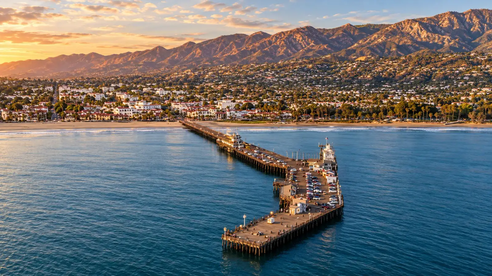
General photo of Santa Barbara. It does not depict this event.
Advisory · Hazardous surf · Catalina Island · Santa Barbara
Hazardous beach conditions in Catalina Island and Santa Barbara through Tuesday
Until Nov 17, 3:00 PM
Beach Hazards Statement from the National Weather Service, in effect for Catalina Island and Santa Barbara until Tuesday 3:00 PM. Dangerous rip currents and breaking waves due to elevated surf. Minor tidal overflows are possible during high tides. There is an increased risk of ocean drowning. Rip currents can pull swimmers and surfers out to sea.
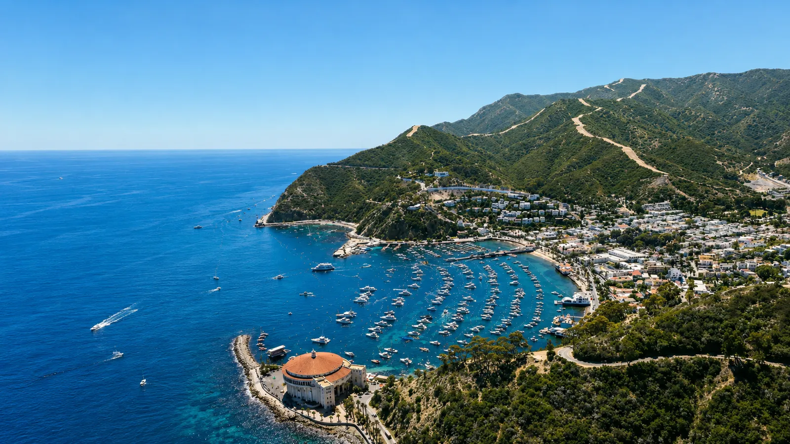
General photo of Catalina Island. It does not depict this event.
The wettest spot in Santa Barbara took 0.67 in of rain in the last 3 days, Campus Point Beach, most recently on Thursday, November 12th. County health guidance is to stay out of the ocean for 72 hours after rain, and runoff plumes near creek mouths and storm drains cut visibility hard.
General photo of Campus Point Beach. It does not depict this event.
Advisory · Hazardous surf · Los Angeles County · Orange County · San Diego · San Luis Obispo · Santa Barbara · Ventura County
High surf along the California coast through Tuesday
Until Nov 17, 3:00 PM
High Surf Advisory from the National Weather Service, in effect for Los Angeles County, Orange County, San Diego, San Luis Obispo, Santa Barbara, and Ventura County until Tuesday 3:00 PM. Large breaking waves of 5 to 8 feet today, increasing to 8 to 12 feet Saturday. Surf heights are expected to decrease to 5 to 9 feet Sunday through Tuesday. Dangerous rip currents expected.
General photo of the Southern California coast. It does not depict this event.
Pro members see the clearest water in Southern California today and their own watchlist right here, without leaving the front page. Ocean Oracle also unlocks days 2 through 7 on every beach and emails you when a prime visibility day is coming.